Project - Earth Observation
MAPPING SOLUTIONS FOR PRIMATES AND THEIR HABITATS
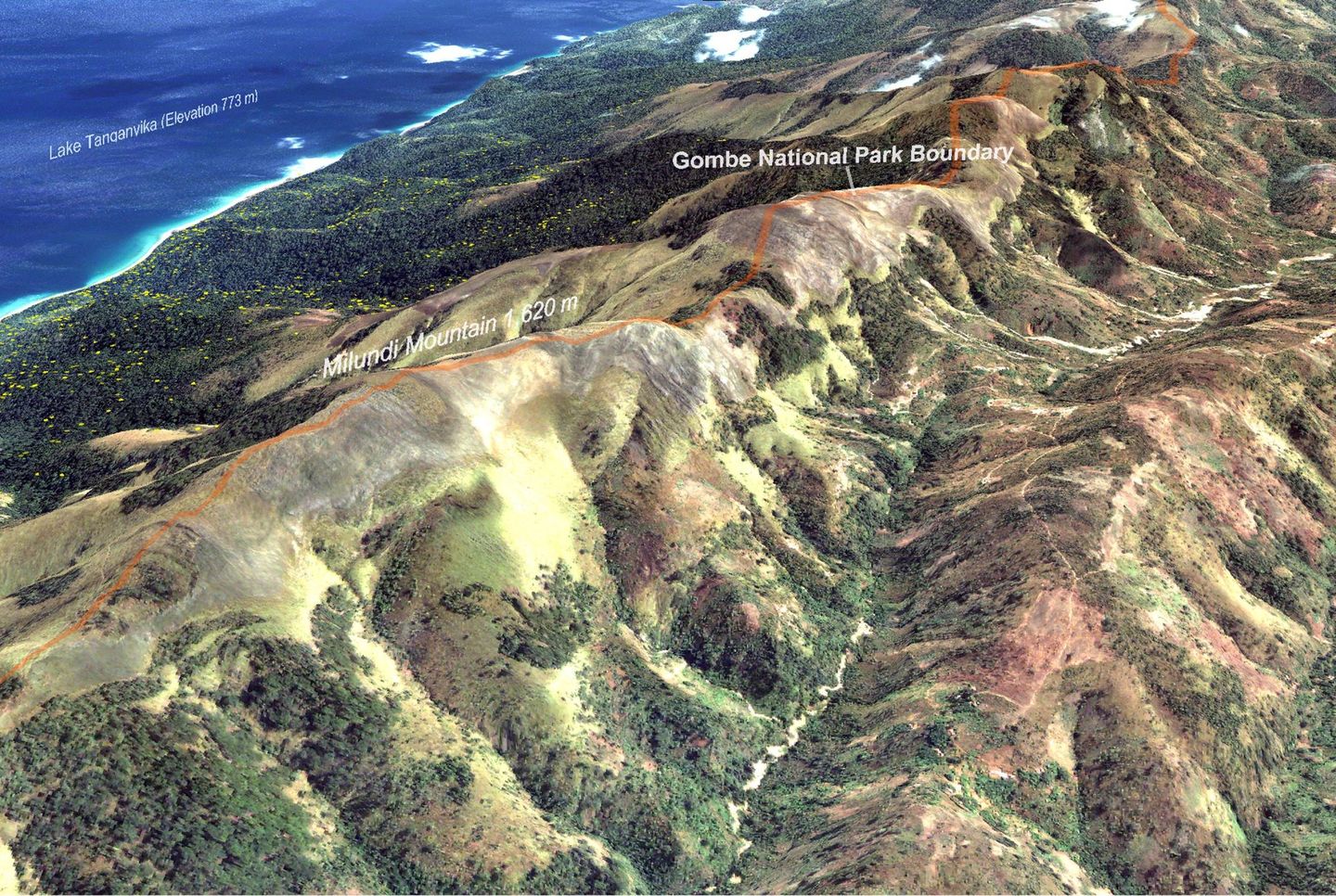
Remote sensing earth observation technologies are invaluable tools for monitoring the suitability and health of chimpanzee habitats. Using these images, our scientists are able to observe, map, and visualise key habitat and communicate to decision-makers how forest distribution, chimpanzee habitats and human land uses have changed over time. Currently JGI employs remote sensing technologies to annually monitor great ape habitats across their entire range in Africa.
Why?
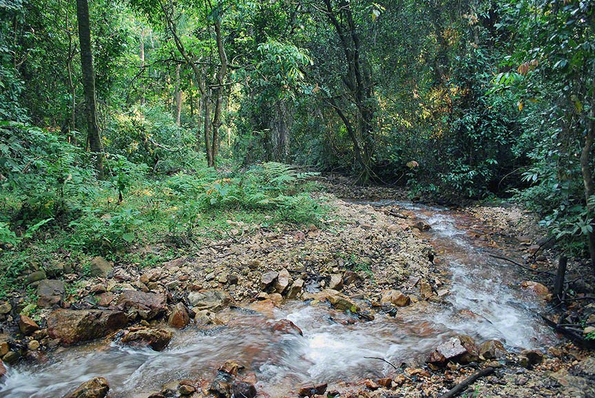
Over the last century, large amounts of forest have been cleared for logging and converted to agriculture, settlements and infrastructure in sub-Saharan Africa, threatening an estimated 70% of chimpanzee tropical forest habitats. This has caused devastating loss of habitat for great apes and other biodiversity. Fragmented forests (forest patches created when parts of wooded areas are cleared, due to this conversion and development) cannot support large wildlife populations. These isolated populations face elevated risk of exposure to harm, either through disease, slaughter for illegal bushmeat, or capture and/or death due to illegal wildlife trade. It also increases the likelihood of human-wildlife disease transmission and conflict.
The Solutions:
Recent developments in remote sensing and cloud computing enable the use of satellite observations to provide a precise view of chimpanzee habitats at detailed spatial and temporal resolutions that are locally relevant and consistent across the entire chimp range. JGI uses a variety of remote sensing data from very high 60-cm resolution satellite imagery from DigitalGlobe to 30-meter Landsat imagery from NASA/USGS/GLAD and recently UAVs (Unmanned Aerial Vehicles) to gain a bird’s-eye view of the changes in forests, woodlands and human land uses from the village scale to entire ape ranges in Africa. We have partnered with several leaders in the geospatial industry including NASA, Esri, DigitalGlobe, Google Earth Outreach, University of Maryland, and Global Forest Watch to continue to apply and leverage remote sensing technologies to inform conservation decisions in practice and overcome challenges in a new, well strategised and distinct way.
The institute uses this information to support protection of great ape habitat in the DRC, Tanzania, Uganda and the Republic of Congo.